1801-1935: Karakilisa Era
Founded as Karakilisa, named after the local Black Church
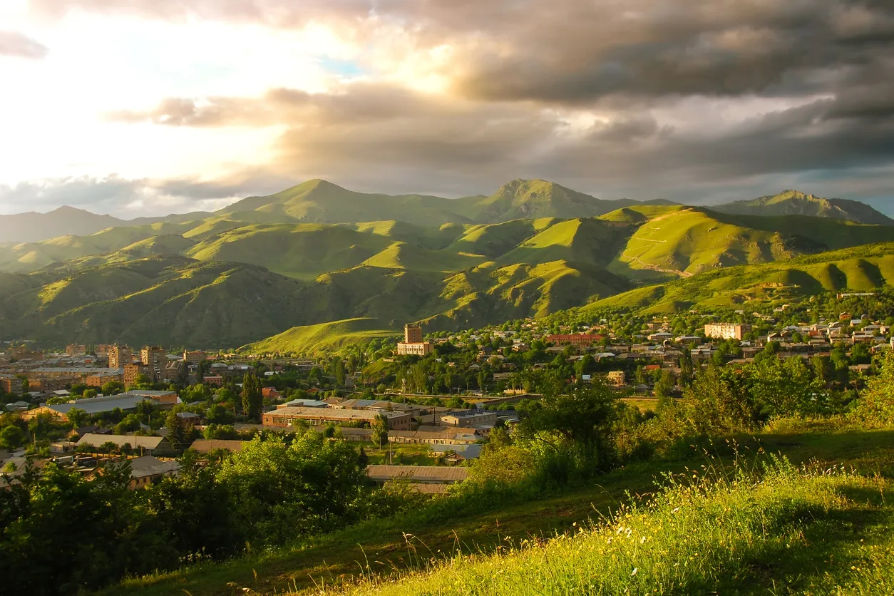
Armenia's Green Capital — The Third Largest City and Regional Center of Lori Province
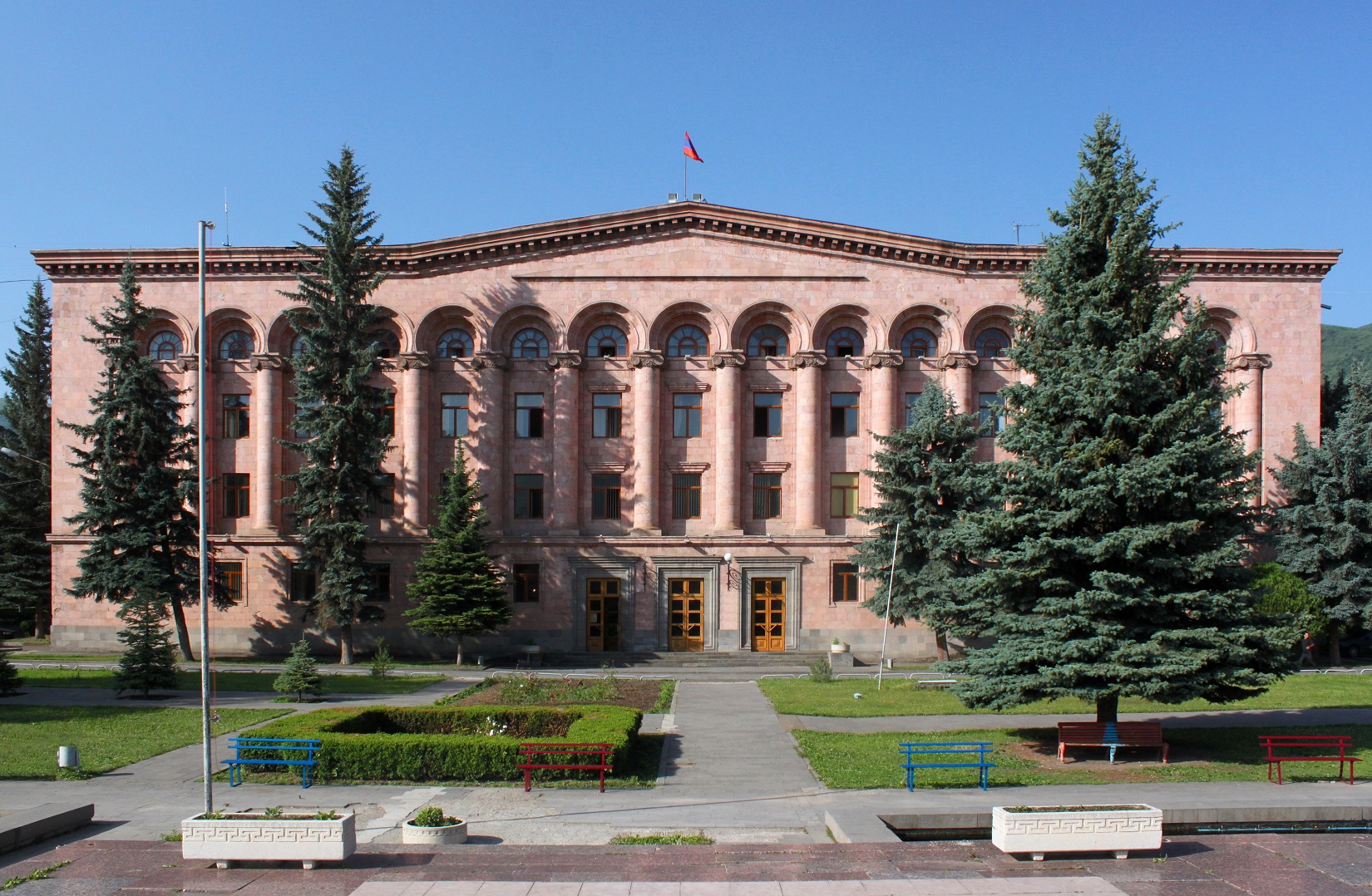
Vanadzor, formerly known as Karakilisa (1801-1935) and Kirovakan (1935-1993), is Armenia's third-largest city and the capital of Lori Province. Located at an elevation of 1,350 meters above sea level, it serves as a major economic and cultural center.
78,400 residents — down from peak of 148,876 (1979)
1,350 meters (4,429 feet) above sea level
Lori Province, Northern Armenia
Continental highland with mild summers and cold winters
Founded as Karakilisa, named after the local Black Church
Renamed in honor of Sergey Kirov. Major industrial development during Soviet era
Learn more about Kirovakan eraSeverely damaged by the Spitak earthquake, leading to massive reconstruction
Renamed after independence, transformed into Armenia's green capital
Explore full historyRegional hub for trade, education, and services. Home to several universities.
Learn moreRich artistic tradition with museums, galleries, and cultural institutions.
Learn moreGrowing destination for eco-tourism, cultural tourism, and outdoor activities.
Learn more